Description for Alamosa, CO 81101
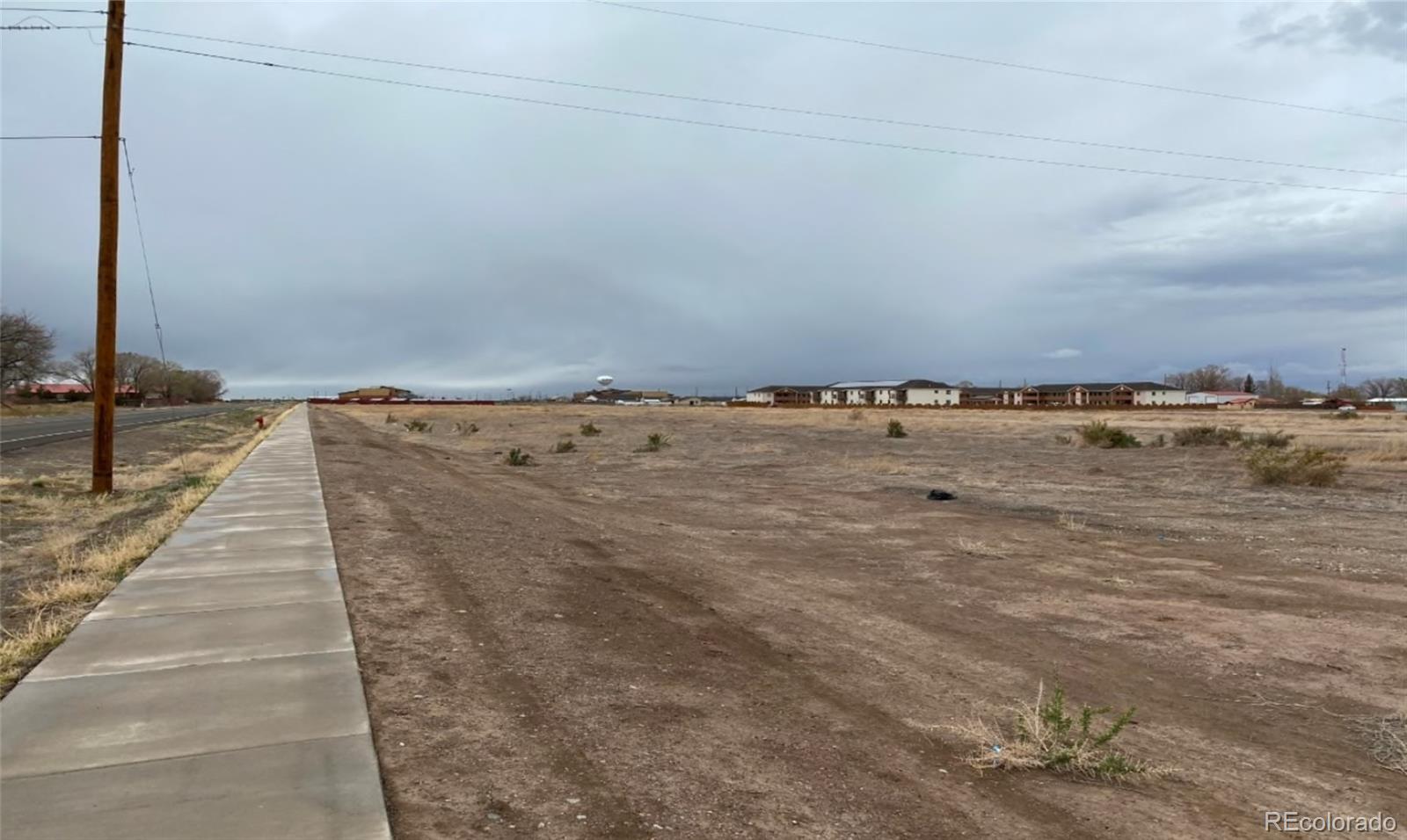
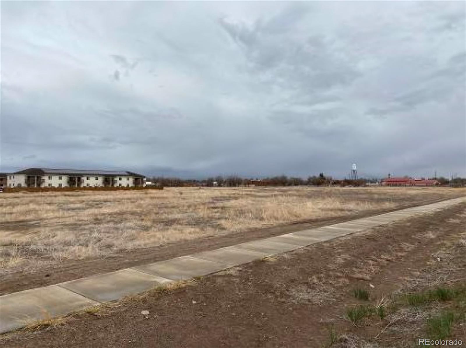
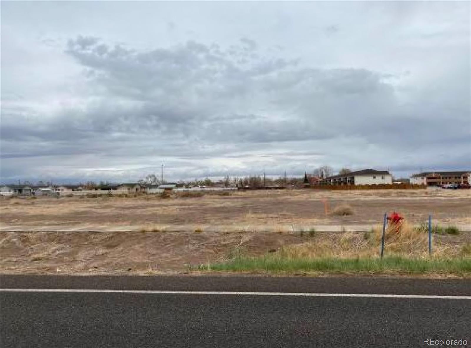
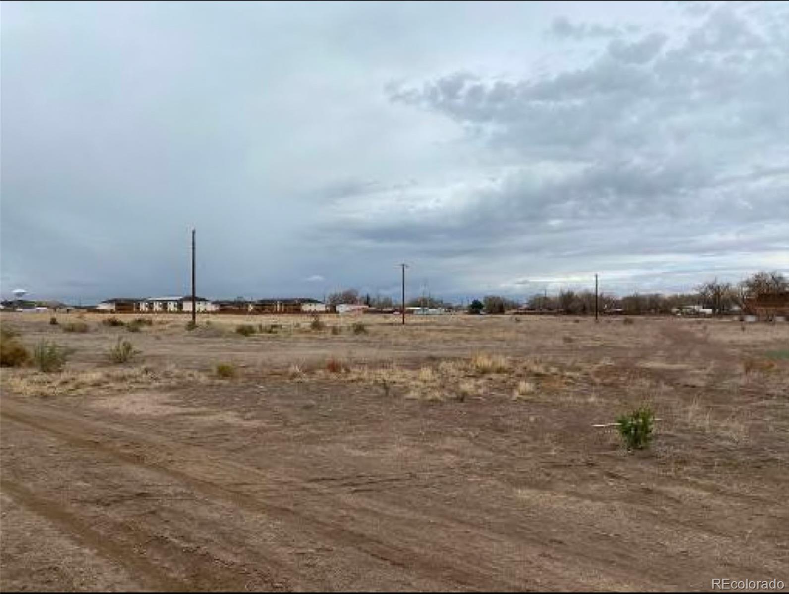
The property comprises two vacant land parcels situated at the northwest corner of the intersection of US Highway 285 and West 10th Street, within the City and County of Alamosa, Colorado. These two vacant tracts collectively span 15.69 acres and are designated for commercial business purposes. The smaller parcel is 1.98 acres and the larger one 13.7 acres. The location offers favorable attributes, including excellent accessibility, visibility, a generally level topography, and a portion that faces US Highway 285—a key regional thoroughfare in the area. Additionally, utilities have been extended to the property, enhancing its overall appeal and functionality.
Property Details
Price History
Walk Score
Walk Score measures the walkability of any address, Transit Score measures access to public transit on a scale of 1-100.
Walk Score
Bike Score
Transit Score
Mortgage Calculator
How much will my mortgage payments be?
Your total payment will be $0
Show detailsViews

